July 31, 2007

Canada - Michipicoten River Paddle

While in the Wawa area, we decided to check out Naturally Superior Adventures. What an interesting discovery! Located for the past twelve years on an isolated point where the Michipicoten River meets Lake Superior, the facility and lodge are first class in every way. The owner, David Wells was eager to help us with any request. If you ever are in this area, you simply must drop in, or schedule a paddle with these folks. We couldn't pass up the opportunity to float the Michipicoten, and David and his staff were eager to provide a map, some tips and a very reasonably priced shuttle for the 12 mile adventure. http://www.paddlingontario.com/category.cfm?&resetRegion=&top=1

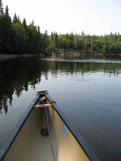
The ride to the put-in was only about twenty minutes, so we got an early start. Paddling in Canada is very different than in most of the U S, much more remote, and others are seldom seen or heard. This trip was no exception - we had the entire River to ourselves for almost all of the float.
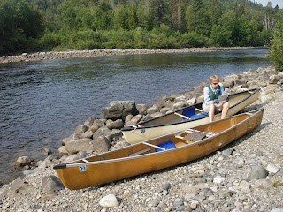
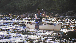
"Raw & serene beauty" are the only words that come to mind when trying to describe this picturesque chunk of nature. From the fast running upper stream dotted with rushing water and class one rapids, to the wide and deep classical river towards the finish, we thoroughly enjoyed the views awaiting us at each turn & bend.
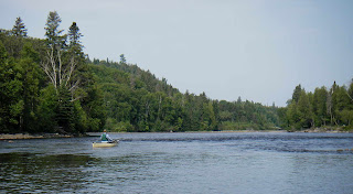
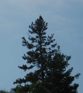
Amoung the surprises were eagles overhead and merganzers on the water.
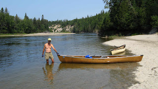
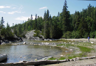
Just above our start was a dam and small hydroelectric plant. It was interesting to see the dramatic change in river level and flowrate as production was increased late in the morning. This was most evident when we stopped at lunchtime. Kim placed a small stick at the waters edge when we landed, thoughtfully pulling our boats well up onto the sandy beach. About 20 minutes later, as we were enjoying our sandwiches some 50 feet from the water, we noticed the boats rocking. To our surprise the water had risen much more than expected! As seen in the photo, I'm standing straddling the marker stick, well over 13 feet out in the River from the "new" waters edge...I wonder how many unsuspecting paddlers watched in amazement as their canoes floated away!
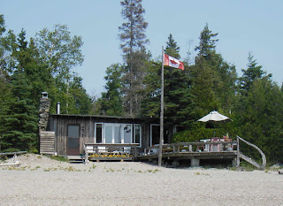
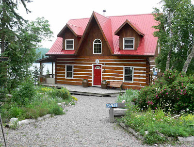
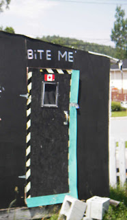
A small cabin marked the end of our journey, just above Naturally Superior's small cove and landing area. As with so many of these we had seen, the owners were proudly flying the Canadian flag.




July 30, 2007

Canada - Wawa Geese & Pooh Bear

In route to Lake Superior Provincial Park, we passed through Wawa & White River (home of Pooh Bear)... it just seemed to be one of those funny signs & statures day!


July 29, 2007

Canada - Pukaskwa & Hattie Cove

We ventured on to the Pukaskwa Provincial Park ... what a great spot. It is a huge area, and we were able to both paddle and hike there.
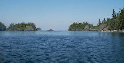
The first morning proved clear and very calm waters, so we opted for a canoe paddle in Hattie Cove. The Cove is very well sheltered from Lake Superior, with only a very narrow outlet into a couple of long fingers, then on into the Lake.


Again, we were amazed at how clear the waters were, even in the fingers & Cove.

We decided to paddle the solo canoes since in protected waters. The view out into the Lake looked like glass.
So, old Sam just couldn't resist taking the canoe out for a closer look. It was immediately apparent when the Superior waters were reached. A sudden darkening of the water, with large rolling swells taking the bow up & down. Even on a calm day, the Lake warns one of it's awesome power, and unforgiving temperment in winds or storms.

It didn't take long to turn back to the protection of the Cove. The safe harbor afforded ships of the past was clearly evident with wood & chain remnants of past mooring sites.


Nothing like a picture perfect day on the water!
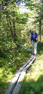
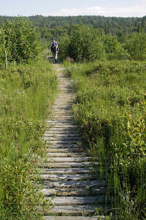
An important aspect of this area in Ontario is the Lake Superior Coastal Trail. Although we did not do the entire 45KM, we did pieces here & there. We decided to do Hattie Cove to White River with an overnight stay. The hike started out along the cove through an interesting marsh area that reminded us of Louisiana. The trail was made significantly easier by the many long boardwalks through the soupy growth.

As we moved into the forrest, the terrain was similar to parts of the AT.

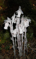
The major difference was the fauna encounted...a few familiar, and all very beautiful!


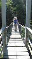
It was a long warm and somewhat "buggie" hike to the White River. We had been warned that the swinging bridge there was high (about 120 feet off the water). And with it's open steps and a 30 mph wind swinging it was exciting!


The River is fast and interspersed with strong rapids, making it unsuitable for most paddlers.

We made camp at an isolated cove that was off of the main Lake a few miles East of Hattie Cove. The spot was protected, yet open enough to get a nice breeze and keep the mosquitoes away.
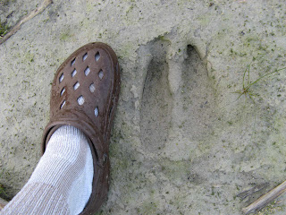
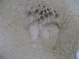
The next morning we found that a couple of large visitors had the same idea!


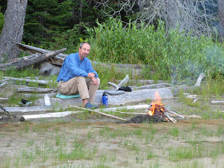
The morning campfire with that great "dark espresso coffee" just can't be beat...what a life!

The hike back was just as enjoyable, especially the trek through the marsh again.


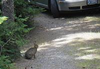
Back at camp the next day, we found more visitors, a bit smaller, but aggressive when it came to looking for handouts!

The little creatures insisted we make one last hike before leaving - The beach near where the Pic River meets Superior. The amount of driftwood was almost unbelievable, stretch for a quater mile or so, with no interruption.


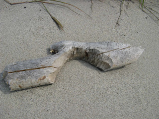
One of the local beavers must have been a paddler, and recentlt had portaged his canoe through the area.
The opening at the mouth of the Pic provided a nice spot for reflection on what a great week this had been!


July 25, 2007

Canada - Rossport Area

We visited the small, sleepy town of Rossport while on the way to our next campsite. Even with a little fog on the lake, the area is beautiful!

Set in a deep bay, with many many islands out towards and into Lake Superior, it is a favorite paddling place for Americans & Canadians alike.

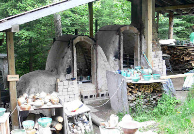
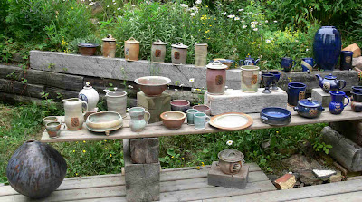
While passing through, we noticed a small gravel road leading out to Nicol Island. While looking at a lot for sale, we discovered Island Pottery. What a neat place, nestled in the woods high on a cliff overlooking the bay!

Of course we left with a small bowl for the trailer (hey, what's another few ounces!)


We found a nice spot for our campsite that afternoon.

It was a dreary, foggy morning the next day when we launched into Rossport Bay on a small beach just East of Nicol Island. With air temp in the low sixties, and water temperature in the low fifties, we wore our new NRS Hydraskins (lite-weight wet suits).


The additional warmth was comforting as we eased out into the foggy islands ahead.


At times I wondered if we might lose sight of one another,

but the wind was just high enough to keep the fog moving and dissipating.


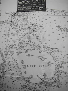
A lone loon was the only other live body visible on the water as we paddled farther out towards the small opening between Quarry & Healey Islands to Channel Island.

Our destination was Little Lake, a small body of water located within Wilson Island linked to the Channel by a 30 foot wide opening of crystal clear water. The only ting of interest within was the skeletal remains of an old boat, beached on the northern shore.

After lunch, the sun began to burst through openings in the low foggy ceiling. Were it not for a reminder – a large boat leaving the Rossport Marina to our West – cutting through the foggy waters in the distance, one would have sworn the Lake was clear with great visibility for miles!
We moved on to Neys Provincial park, had some very nice beach walks including discovering more abandoned boats.